1158 views | Public
More information on Openstreetmap.
Inspired by OSM.
Difficulty level: Medium (53/100)
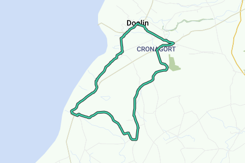
Length: 17.1 km
Duration: 01h08
Total ascent: 264 m
Maximal slope: 3.32 %
Average slope: 1.54 %
Net ascent: 1 m
Total descent: 263 m
Paved roads: 12.7 km (74 %)
Cobblestones: 0 m (0 %)
Bike paths: 0 m (0 %)
Car free roads: 0 m (0 %)
Noise pollution
Amount of traffic
Natural area
Urban area
Water rich area
No photos have been uploaded yet. You can upload them after finishing a route using the app.
No issues reported on this route yet.
See something wrong on this route?Add an issue
WikipediaWikipediaWikipedia© 2006-2025 RouteYou - www.routeyou.com