calne, devizes, amesbury, marl, chipp
Road bike route » United Kingdom » Swindon » Swindon » calne, devizes, amesbury, marl, chipp
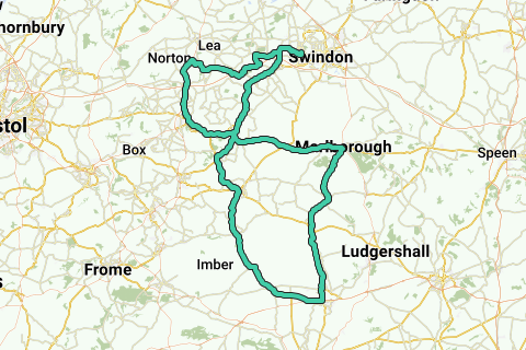 View on interactive map
Route information
Description by the author
Route origin
Route description
Region
Statistics
Difficulty level: Extreme (97/100)
Length: 104 mi
Duration: 06h43
Total ascent: 5,899 ft
Maximal slope: 10.6 %
Average slope: 1.1 %
Net ascent: 9.84 ft
Total descent: 5,889 ft
Difficulty level according to the author:
Roads and subsoil
Paved roads:
Cobblestones:
Bike paths:
Scenery
Car free roads:
Noise pollution
Amount of traffic
Natural area
Urban area
Water rich area
Characteristics
Themes
Groups
Start and end of the route
Closest address to end:
Navigate to starting point
Places of interest
Activities
Nearby
5,000 ft


