1050401 5of12 NorthernON - 04a Nestor Falls, ON to Fort Frances, ON (Point Park Tenting Area) 94km
Cycle route » Canada » 1050401 5of12 NorthernON - 04a Nestor Falls, ON to Fort Frances, ON (Point Park Tenting Area) 94km
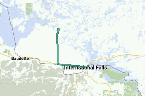 View on interactive map

Thanks to our partner Trans Canada Bike Route, you can get free access to this route AND familiarize yourself with RouteYou PLUS.
Discover all benefits
Route information
Description by the author
1050401 5of12 NorthernON - 04a Nestor Falls, ON to Fort Frances, ON (Point Park Tenting Area) 94km
Route origin
Route description
Region
Statistics
Difficulty level: Medium (73/100)
Length: 94.2 km
Duration: 05h14
Total ascent: 261 m
Maximal slope: 4.1 %
Average slope: 0.3 %
Net ascent: -13 m
Total descent: 274 m
Difficulty level according to the author:
Roads and subsoil
Paved roads:
Cobblestones:
Bike paths:
Scenery
Car free roads:
Noise pollution
Amount of traffic
Natural area
Urban area
Water rich area
Characteristics
Themes
Groups
Start and end of the route
Closest address to end:
Navigate to starting point
Places of interest
0 · School
Fort Frances High School is the only high school serving Fort Frances, Ontario. The school is …
 Wikipedia
0 · Bridge
The Fort Frances–International Falls International Bridge is a privately owned international toll …
0 · Crossing
The International Falls–Fort Frances Border Crossing connects the cities of International Falls, …
0 · School
The Rainy River District School Board is a school board in the Canadian province of Ontario. The …
0 · District
Fort Saint Pierre on Rainy Lake was the first French fort built west of Lake Superior. It was the …
Activities
Nearby
Fort Frances–International Falls International Bridge
International Falls–Fort Frances Border Crossing
Rainy River District School Board
5 km


